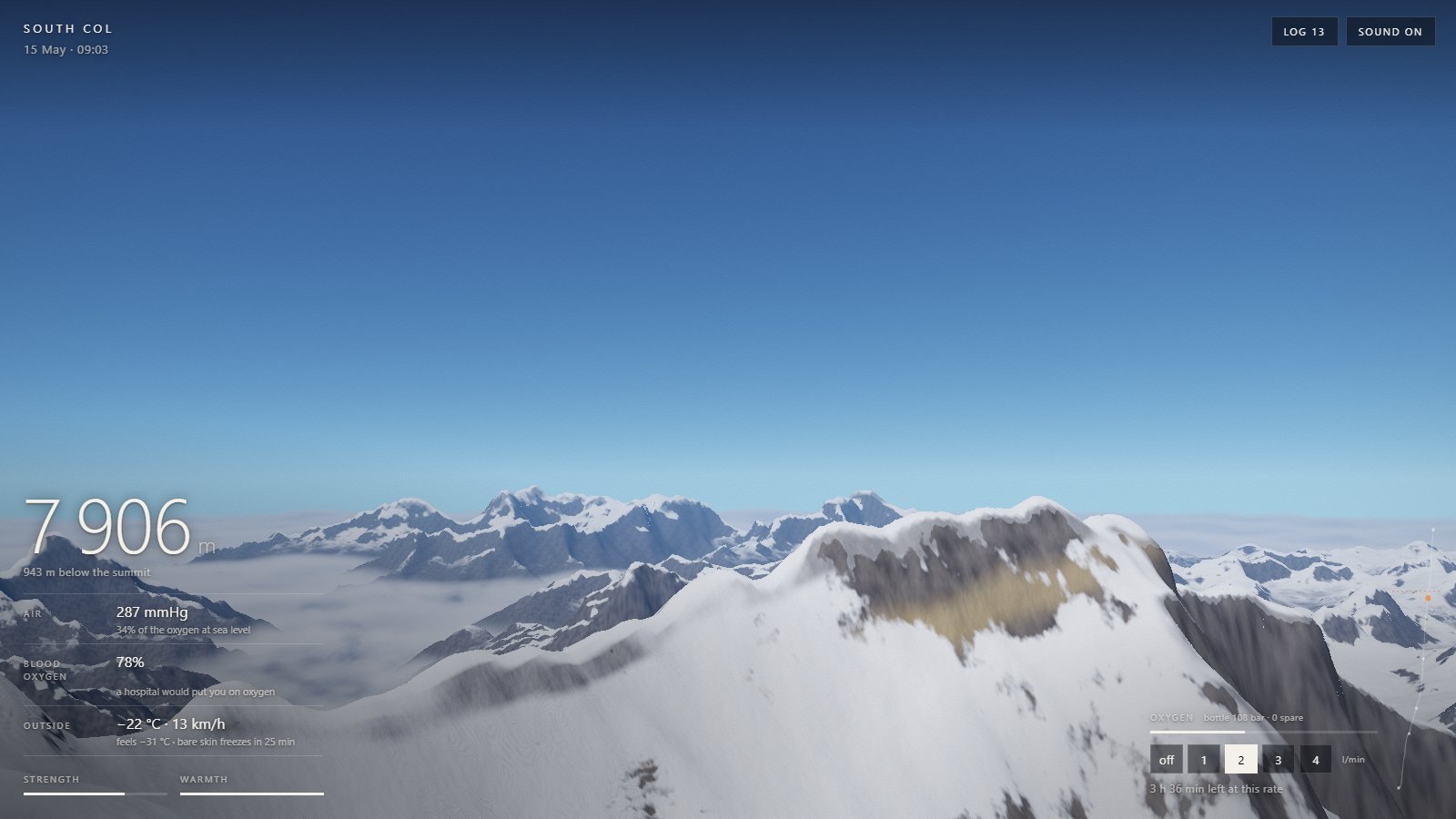
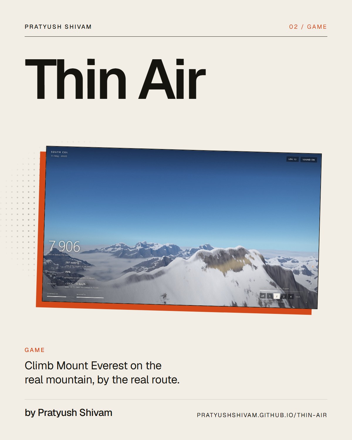
You climb from Base Camp to the summit by the South Col route, on a mountain built from satellite elevation data. There is one control: hold to climb, let go to breathe. The barometer, your blood oxygen, the wind chill and the gauge on your oxygen bottle are worked out from published formulas and pinned to measurements taken on Everest. You can reach the top. You can turn round a hundred metres short of it and walk away. You can also not come down.
The shape of the mountain is Copernicus DEM GLO-30, a 30 metre elevation model made from the TanDEM-X radar satellites. The page ships a 1,024 by 1,024 grid at one arc-second around the route, about 28 by 32 km, and a coarser 512 by 512 grid for the horizon, so Makalu, Cho Oyu, Pumori and Ama Dablam stand where they stand. The line you climb is the South Col route as OpenStreetMap has it: 611 mapped points, 12.4 km from Base Camp to the summit.
02 · How it works
Where the data runs out
Thirty-metre data rounds off knife-edges. Copernicus reads 8,724 m at the surveyed position of the summit and is 50 to 170 m low along the whole Southeast Ridge. So I raised the ridge the route climbs to four surveyed heights, from the South Col at 7,906 m to the summit at 8,848.86, each tapering to nothing within 400 m. Within about 190 m of the climber the page adds invented ice blocks, crevasses and wind-packed snow, faded so they sit on the real surface.
03 · How it works
Air and blood
Air pressure follows John West's model atmosphere for the Himalaya, which gives the 253 mmHg measured on the summit in 1981 where the textbook atmosphere gives 236. Blood oxygen comes from the alveolar gas equation and the Severinghaus haemoglobin curve, fitted to arterial blood drawn from four climbers at 8,400 m in 2007. Bottled oxygen is expanded to the thin air by the gas laws and mixed into each breath, so two litres a minute lowers the mountain by about two kilometres and does not take you to sea level.
04 · How it works
The sun, the stars and the season
The sun's position comes from NOAA's solar position equations for the date and the Nepal clock time, and shadows are cast by the real relief. The night sky is every star to magnitude 5.6 from the HYG catalogue, turned to Everest's latitude and the hour. The weather is grown from a seed in the address. Its shape is the real one, with the jet stream on the summit through April and short calm windows in the second half of May, and the same seed always gives the same season.
05 · How it works
Checked against measurements
There are 40 tests. Pressure at three heights matches West's 1983 measurements within 2%, and the summit within 1 mmHg. Arterial oxygen at 8,400 m comes out within 2.5 mmHg of the 2007 samples, and wind chill reproduces four rows of Environment Canada's table. The rest play whole expeditions with a rule-following climber: a patient one summits and comes home, the same one without oxygen does not reach the top, and one who ignores the forecast and the turnaround time dies.
06 · What it teaches
The idea underneath
Thin Air teaches that the top of Everest is hard because of the air. Each breath on the summit holds 29% of the oxygen of a breath at sea level, and a climber there can do under a quarter of the work. It also shows why a turnaround time matters: of the deaths above 8,000 m from 1921 to 2006, 56% were on the way down from the summit.
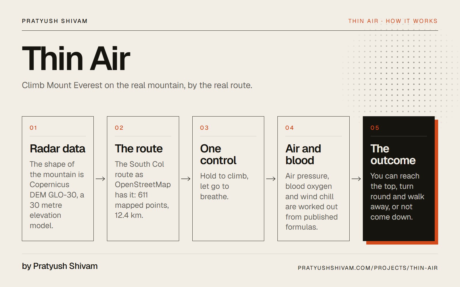
How it works, in one picture
How Thin Air works
Radar data → The route → One control → Air and blood → The outcome. Open the picture to read it at full size.
1600 × 1000 · JPEG
Film · 50 seconds
I put Mount Everest in a browser tab
A film of Thin Air, a browser game by Pratyush Shivam: a climb of Mount Everest by the South Col route, from the Khumbu Icefall to the summit at 8,848.86 m, played by the game's own test climber. The mountain is built from Copernicus GLO-30 radar satellite elevation data and the route from OpenStreetMap. The instruments on screen are worked out from published physiology: West's model atmosphere gives 253 mmHg on the summit, and blood oxygen comes from the alveolar gas equation and the Severinghaus curve, fitted to blood drawn from climbers at 8,400 m. The whole game is about 1.2 MB.
The shape is satellite elevation data and the line is the mapped South Col route. Two things are not: I raised the summit ridge to its surveyed heights, because the elevation model reads the summit at 8,724 m, and the ground within about 190 m of the climber is invented detail.
02
How accurate are the oxygen and air pressure numbers?
Pressure, blood oxygen, bottled oxygen and wind chill come from published formulas and are tested against measurements taken on Everest. How fast you tire, cool and recover are simple models, tuned so leg times fall in the range real climbers report. They are not medicine.
03
How do you play Thin Air, and how long does a climb take?
There is one control: hold the ring or the space bar to climb, and let go to breathe. From Camp III you carry bottled oxygen and set its flow, and you can always turn back. One climb takes about twelve minutes. There is no account and nothing to upload.